Reis Scandia
Landowners in the Sand Hill River Watershed District petitioned the Board of Managers of the District for the establishment of Reis-Scandia Township Ditch. The ditch lies entirely within Reis and Scandia Townships, Polk County. The ditch originates at a point at the old Sand Hill River channel along the east line of Section 17, Reis Township (T147N, R46W); and is graded in a southerly direction along the east boundary line to the southeast corner of said Section 17. The ditch then follows a westerly course along the south boundary line of Section 17 (which is on the north side of County Road No. 232) to the southwest corner of said Section 17. The ditch then crosses under County Road No. 232 southwesterly to the northeast corner of Section 19, Reis Township. It then follows a westerly course along the north line of said Section 19, continuing along the north line of Sections 24 and 23, Scandia Township (T147N, R47W), terminating at the Sand Hill Ditch (Sand Hill River improved channel), approximately 440 yards from the northeast corner of said Section 23. The total length of the Reis-Scandia Township Ditch is 3.6 miles. The drainage area of the Reis-Scandia Township Ditch is about 8.75 square miles. However, approximately 5.5 square miles of this area is being diverted under Project No. 11 of the District, the Beltrami Flood Control and Diversion Project. Therefore, the effective drainage area for Project No. 13, is 3.25 square miles.
-
Benefit Area:
Under construction - check back soon!
-
Project Costs:
Under construction - check back soon!
-
Recent Ditch Inspection Report:
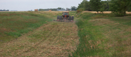
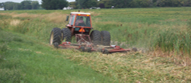
2023 ditch inspections were performed. Please call our office at 218-945-3204 for a copy of the inspection report for this system.